July 19, 2022, by lzzeb
Parsing the Duchy: Nottingham and the Mapping of Luxembourg
The Atlas du Luxembourg. A blog by Professor Mike Heffernan
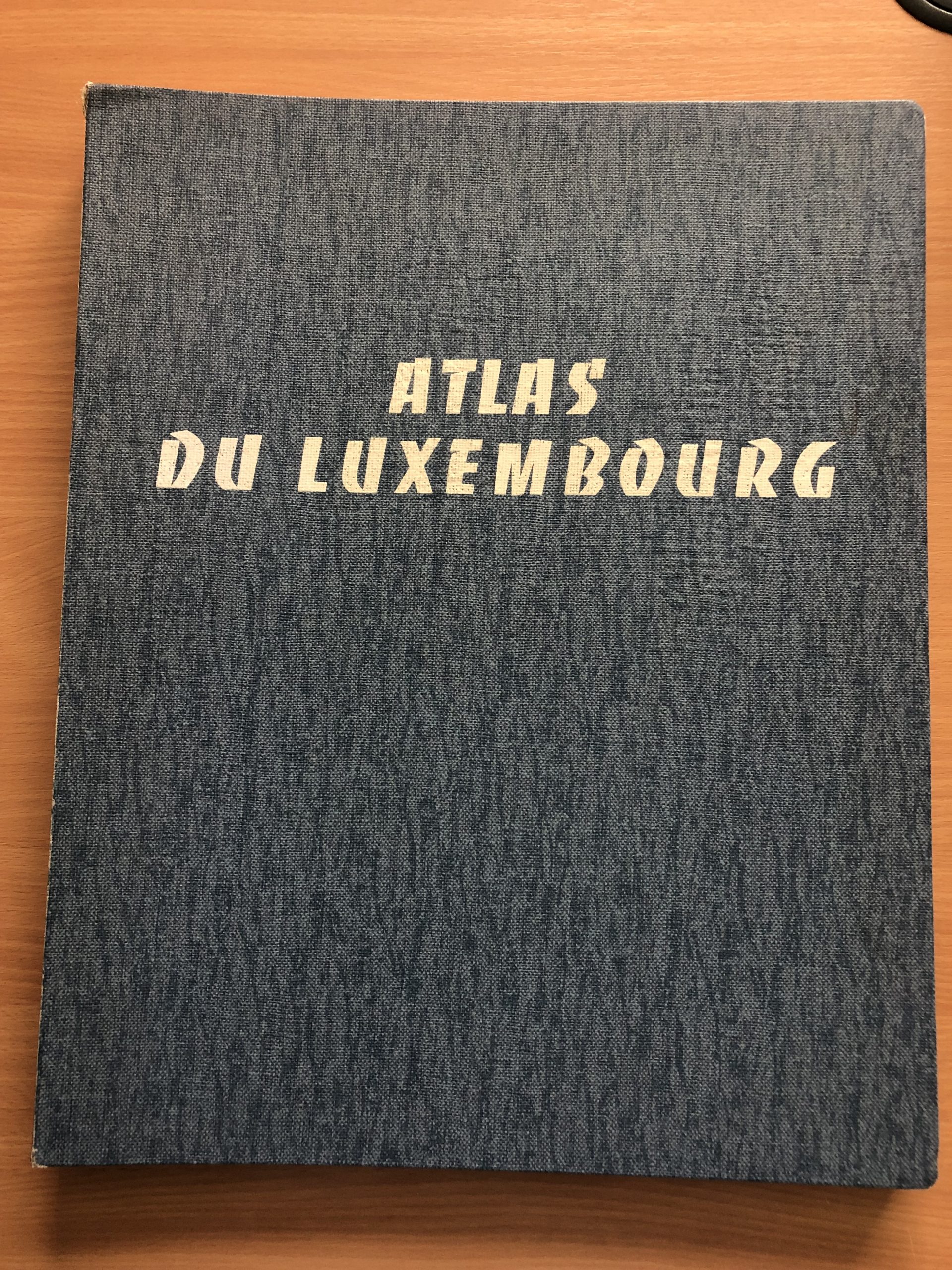
The School of Geography’s map collection includes several items that highlight a forgotten association between Nottingham geographers and the Grand Duchy of Luxembourg. K. C. Edwards (1904-1982), the University’s first Professor of Geography, had a life-long interest in this tiny, land-locked European state. Towards the end of his career, Edwards and some of his Nottingham colleagues prepared the official Atlas du Luxembourg (Figure 1, main image).
Published by the Luxembourg Ministry of Education in February 1971, a few months after Edwards retired, the Atlas du Luxembourg is a substantial (40 x 50 cm) volume. Written in French, it contains more than 140 maps of various sizes and formats organised into six sections on the country’s history, physical geography, administration, demography, economy, and society. The contents range from simple maps of administrative divisions to complex, richly coloured maps of geology, relief, soils and vegetation, all accompanied by textual commentaries and details on data sources (Figure 2). There are also several choropleth and analytical maps featuring pie-charts, histograms, and flow diagrams. It is not known how many volumes were published but the School’s copy is No. 400.

Figure 2 Atlas du Luxembourg, Sheet 206/0: Soils. Click to enlarge.
National Atlases
The Atlas du Luxembourg is one of several national atlases in the School’s collection, most published during ‘the age of National Atlases’, from the 1920s to the 1970s, when newly independent states in Europe and former colonial empires sought to promote the richness and variety of their national territories for domestic and international audiences (Yonge 1957, 570). After 1945, national atlases were also prepared for urban and regional planning (Short 2022).
The first national atlas to include topographic, thematic and diagrammatic representations of physical and human geographical features was the Atlas öfver Finland, unveiled at the 1899 International Geographical Congress (IGC) in Berlin to reinforce Finnish claims for independence from the Russian Empire. More than 70 countries published national atlases during the 20th century, beginning with the 1906 Atlas of Canada, likewise informed by the campaign for greater Canadian autonomy within the British Empire.
Some national atlases were years in the making. The final maps for the Atlas de France, initiated in 1931, were published in 1946. Other projects ended in failure. A UK national atlas was suggested at the Cambridge meeting of the British Association for the Advancement of Science in 1938. The idea was developed during World War II by the geographer Eva Taylor, part of a ‘master plan’ for national economic renewal based on the Barlow, Scott and Beveridge reports, but the proposal came to nought (Taylor 1940, 1941, 1945).
The communist governments of Central and Eastern Europe produced several innovative national atlases during the Cold War. In 1956, the International Geographical Union (IGU) established a Commission on National and Regional Atlases to advise governments hoping to prepare atlases. The Commission was chaired by Konstantin Sališčev, one of the Russian cartographers responsible for the Great Soviet World Atlas, published in 1937 and 1939.
K. C. Edwards and Luxembourg
That Luxembourg, a country the size of Derbyshire, should have decided a national atlas was necessary to mark its centenary in 1967 underlines the importance of cartographic projects for national prestige.[1] As the Grand Duchy had neither a university nor a mapping agency at the time, and as its government was reluctant to involve cartographers from adjacent countries, the IGU Commission recommended recruiting experts from further afield.
Edwards was the obvious candidate. He had organised fieldtrips to Luxembourg since the early 1930s, in association with the Le Play Society, and had welcomed dozens of Luxembourg students to Nottingham (Edwards 1933). On 3rd September 1939, the day Britain declared war on Germany, Edwards was forced to abandon a journey, already underway, to the Luxembourg town of Diekirch where he was to deliver a lecture at an agricultural exhibition.[2] Impressed by his knowledge, the exiled Luxembourg government in London repeatedly approached Edwards for advice and provided him with information for the substantial ‘Admiralty Handbook’ he prepared on the Grand Duchy for the Naval Intelligence Division (Edwards 1944). In recognition of his wartime efforts, Edwards was made a Commander of Luxembourg’s Grand Ducal Order of the Oak Crown in May 1948 (Figure 3).
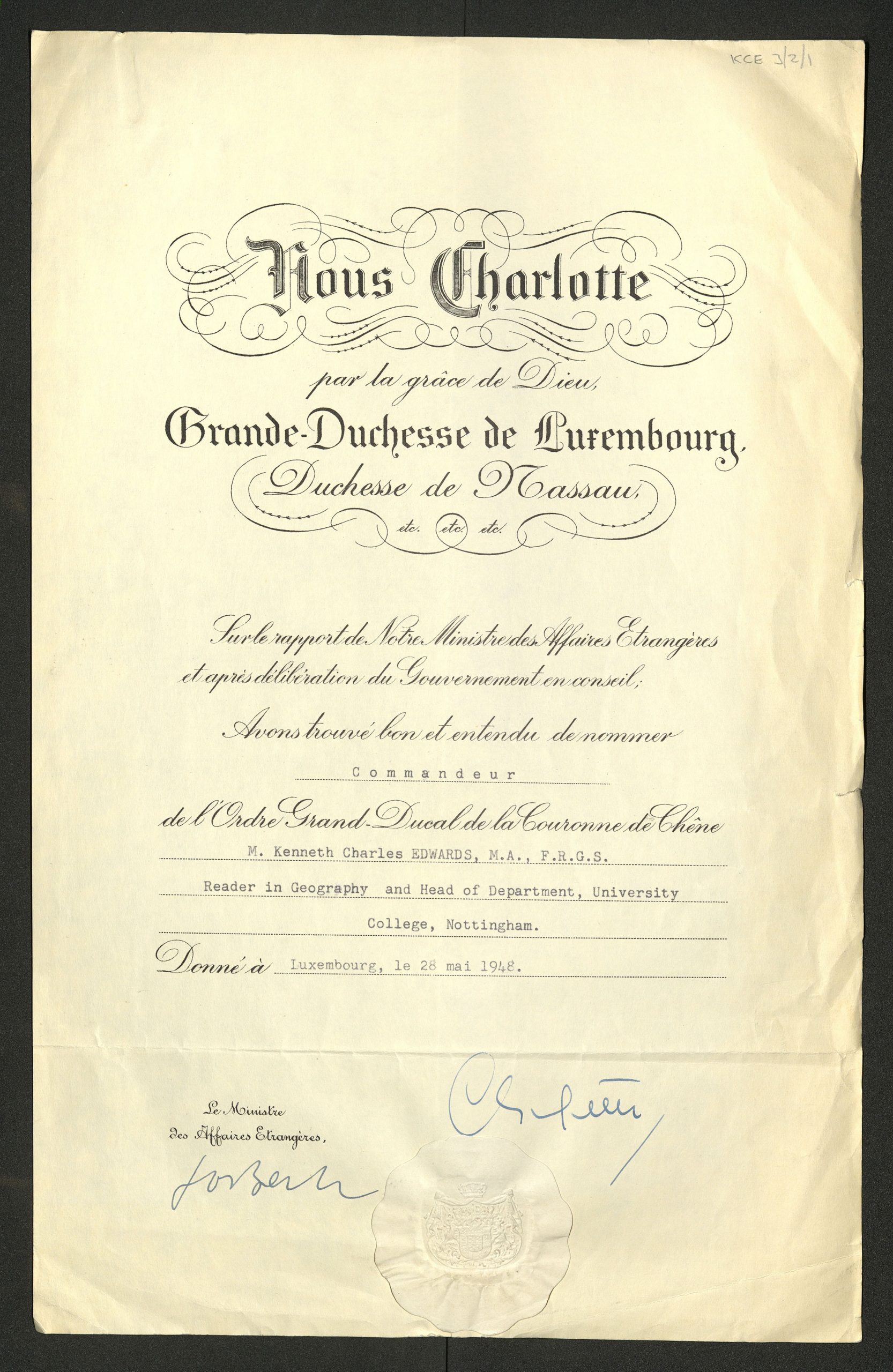
Figure 3 The official certificate, signed by Charlotte, Grand Duchess of Luxembourg (1896-1985), confirming Edwards as Commander of the Grand Order of the Oak Crown, 28th May 1948 (UoNMSC, GB 159 KCE 3/2/1). Click to enlarge.
On 6th February 1967, Edwards summarised his views on Luxembourg in a public lecture delivered in the University’s Portland Building to mark the country’s centenary. The Grand Duchy is Europe in microcosm, Edwards claimed: ‘a very small but fully-developed sovereign state… [that] exhibits the full and complex organisation of a state many times its size (Edwards 1967, 14). Its geographical location, forested uplands and fertile lowlands, integrated and efficient industrial and agricultural sectors, stable and democratic government, and cosmopolitan, multi-lingual population made Luxembourg the natural home for pan-European institutions (Edwards 1961).
Work began on the Atlas du Luxembourg in 1968. Edwards already possessed a mass of statistical information but was given access to additional data from unpublished government reports. He drew heavily on his Nottingham academic colleagues, notably Dr Catherine Delano-Smith, a recently appointed, French-speaking Assistant Lecturer who undertook some of the data analysis. The maps were drawn by two full-time cartographers in the Department’s Drawing Office, Keith Bowler and Carol Chambers.
The only individuals named in the Atlas du Luxembourg are Jean Dupong, the Minister for National Education and later the country’s President, and Edwards, both of whom wrote brief forewords, the latter in English. Delano-Smith was awarded the Luxembourg Order of Merit for her otherwise unacknowledged efforts. A Nottingham deputation of Edwards, Delano-Smith, Bowler and Chambers presented the maps to the Luxembourg Ministry of Education in 1970, before taking a field excursion along the Moselle River.[3]
The Atlas du Luxembourg, prepared in Nottingham more than half a century ago and published two years before the UK joined the European Economic Community, reveals how a British geography department was able to influence the cartographic self-image of a small but important European country and, in so doing, contribute in a minor way to the process of European economic and political integration that Luxembourg has consistently exemplified.
References
Edwards, K. C. (1933) Luxembourg Studies (Le Play Society Student Group)
Edwards, K. C. (1944) Luxembourg (London: H.M. Stationery Office-Naval Intelligence Division)
Edwards, K. C. (1961) Historical geography of the Luxembourg iron and steel industry, Transactions of the Institute of British Geographers 29: 1-16
Edwards, K. C. (1967) Luxembourg: The Survival of a Small Nation (Nottingham: University of Nottingham)
Short, J. R. (2022) The Rise and Fall of the National Atlas in the Twentieth Century: Power, State and Territory (London: Anthem Press)
Taylor, E. G. R. (1940) Plans for a National Atlas, Geographical Journal 95, 2: 96-108
Taylor, E. G. R. (1941) Land and Plan: Basic Facts Relative to a Master Plan for Britain (London: The Architect and Building News)
Taylor, E. G. R. (1945) Maps for the National Plan, Nature 155: 770
Yonge, E. L. (1957) National Atlases: a summary, Geographical Review 47, 4: 570-8
[1] Luxembourg has two independence dates: 1839, when the Great Powers recognised the Grand Duchy’s de facto independence, and 1867, when the Treaty of London ratified this arrangement.
[2] Full details can be found in the University of Nottingham’s Manuscripts and Special Collections (UoNMSC), K. C. Edwards Papers, GB 159 KCE 3/1-4.
[3] I am grateful to Catherine Delano-Smith and Rosemary Hoole for generously sharing their recollections of this period.
No comments yet, fill out a comment to be the first
Leave a Reply