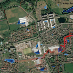
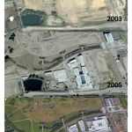
« return to post

Figure2

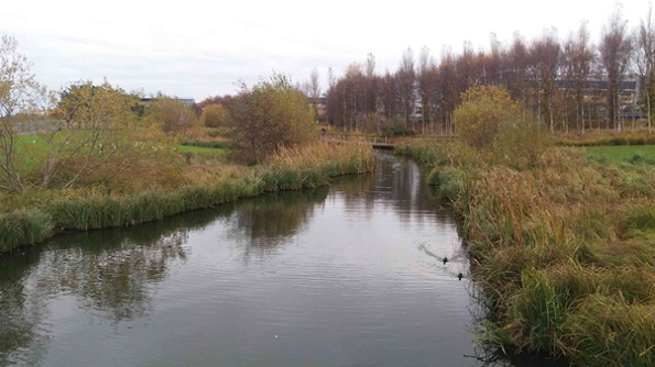
Figure 2 Granton Western Pond, Edinburgh

A photo of Granton Western Pond, Edinburgh

Figure 1 CityCat Simulation of the Granton Ponds for a short duration extreme event. Water depths are shown in blue and velocity vectors in red (© Google maps)Google Earth Aerial images of the Granton PondsImages of old OS maps and an aerial image from maps.nls.uk. Maps are overlaid with the course of the Caroline Burn.