August 10, 2018, by Sarah
Digimap Collection – additional content!
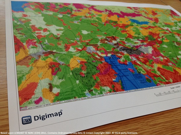
Digimap is an online map and data delivery service. Digimap primarily comprises two applications, one for creating maps online, the other for downloading data which enables further analysis and investigation in other packages.
Our Digimap access has expanded for the coming year. In addition to the Ordnance Survey, Historic and Geology collections, we now have access to Marine, Environment, Aerial and LiDAR. The new Global Digimap service is also included until July 2019.
Digimap Collections
Ordnance Survey
The Ordnance Survey collection contains a number of datasets ranging from small scale base maps, such as MiniScale®, to detailed large scale mapping including OS MasterMap®, which is the most detailed large scale vector dataset available from Ordnance Survey. Complete coverage of Great Britain is available for all the products in the collection and all products are updated throughout the year, as and when updates are received from Ordnance Survey.
Historic
Explore past landscapes and visualise change through time with Historic Digimap. Access to scanned maps of Great Britain dating back to 1840 with the ability to view maps from different times side-by-side making visual comparisons easy. The historic map collection is extensive, however map series rarely provide complete coverage of Great Britain.
Geology
Geology Digimap provides map data at a number of different scales from the British Geological Survey (BGS) along with the BGS Lexicon of Named Rock Units and the Onshore Borehole Index.
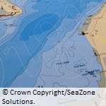
Marine
Access the most detailed spatial data and marine charts for the waters around Great Britain. Marine charts provide detailed information about both offshore and near-shore areas while the vector data accessible through Marine Digimap is the most detailed data available describing our coastal environments and includes gridded bathymetry, socioeconomic and conservation layers.
Environment
Environment Digimap provides Land Cover Maps of Great Britain and Northern Ireland from the Centre for Ecology and Hydrology (CEH). The data is available in raster and vector format for a number of different years.
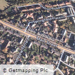
Aerial
Aerial Digimap provides high resolution (25cm) vertical aerial imagery data of Great Britain from Getmapping Plc. The data is provided in raster format for use in GIS and CAD applications.
Digimap provides access to some of the highest quality aerial photography available for Great Britain.
Lidar
Lidar Digimap allows you to download the data for use in GIS/CAD through Lidar Download, there is no Lidar Roam application.
Global Digimap is a beta service built around two key datasets, OpenStreetMap and Natural Earth, developed in response to requests for international data. The collection will be developed in partnership with the community, so user feedback will shape both the content and functionality. Find out more on the Global Digimap blog.
To access the Digimap data, you will first need to register and agree to the licences for each of the specific Digimap collections that you wish to use. Take a look at the Resources section for help and support in getting the most out of each collection.
No comments yet, fill out a comment to be the first

Leave a Reply