
October 15, 2014, by Blue-Green team
Hydroinfomatics Conference (HIC 2014) in the Big Apple ~ New York
Sangaralingam Ahilan took part in the 11th Hydroinfomatics conference (HIC2014) hosted by New York City College, USA on 17th-21st August 2014. The biennial conference theme focused on ‘Informatics and the Environment: Data and Model Integration in a Heterogeneous Hydro World’, and brought together 300 scientists from the all over the world to the Big Apple to discuss present challenges and emerging needs in water management issues. The conference program can be downloaded here.
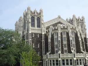
New York City College
Four eminent experts delivered keynote speeches on recent developments in hydroinfomatics:
- Prof David Maidment from University of Texas at Austin, USA, delivered a speech on Water Data and Modelling Services. He talked about advancements in the Water Mark Up Language (WaterML) and water data services, which have led to significant developments in the exchange of water time series data and model outputs through the internet.
- Prof Philippe Gourbesville from Nice Sophia Antipolis University, France, talked about emerging needs for integration of hydroinfomatics for three water domains: water uses, water hazard mitigation and water resources prevention. In his talk he emphasised that new developments within hydroinfomatics have to knit with key concepts of interoperability and sustainability in order to cope with the needs of water professionals who are operating in the different water domains.
- George Percivall from the Open Geospatial Consortium, USA, delivered a talk on the open landscape of hydroinfomatics. He spoke about the need for the development and use of international standards and supporting services to promote geospatial interoperability. He mentioned that open standards, open source and open data can result in high quality information. The fusion of data from multiple sources when performed accurately also results in high quality information. This will enable everyone to benefit from the use of geospatial information and supporting technologies.
- Prof Yui-Shie Liong from National University of Singapore presented a method to extract and bias correct rainfall data from the downscaled reanalysis results, which can be used in single site and regional frequency analysis for ungauged sites or sites with short rainfall records. The proxy data, mined from the downscaled re-analysis results, allow the construction of the required rainfall Intensity-Depth-Frequency (IDF) curves which is required for optimal storm drainage design. He also mentioned the challenges in data pooling due to non-data sharing policies between neighbouring countries.
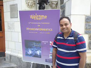
Ahilan at the HIC 2014
During the first three days of the conference over three hundred high quality research topics were presented and discussed by the delegates. They were centred around eight themes:
- advances in physically-based modelling methods
- model optimisation
- remote sensing
- disaster mitigation
- decision support systems
- climate change impacts
- model interoperability, and
- education
Sangaralingam Ahilan delivered three talks in the conference which included an overview of two EPSRC Sandpit projects: Blue-Green Cities and SESAME; and case study results from research in the Wortley Beck catchment, Leeds. He also chaired the special session on “Hydroinfomatics tools for flood resiliency in urban areas”.
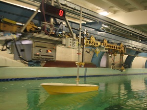
Davidson laboratory, Steven Institute of Technology
On the last day of the conference, Thursday 21st August, conference delegates visited Steven’s Institute of Technology for a tour of the renowned Davidson Laboratory which engages in coastal research including hurricane threat assessment and the protection of coastal areas from flooding as a result of severe weather. During Hurricane Sandy, Steven’s experts played a critical role in predicting and communicating the magnitude and timing of the storm surge for what turn out to be unprecedented levels of coastal flooding in the New York/New Jersey region. Delegates had lunch at the Institute with spectacular vistas of Raritan Bay and the southern tip of Manhattan. They finished the day with a harbour cruise to close the memorable 11th Hydroinformatics conference in New York City.
Blog post by Sangaralingam Ahilan (University of Leeds), part of the WP2a team.
Read about the other conferences attended by the Blue-Green Cities team on our website.
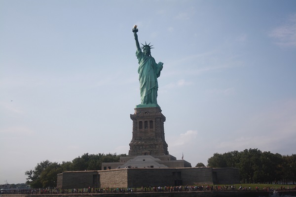
The Statue of Liberty
No comments yet, fill out a comment to be the first
Leave a Reply