January 16, 2014, by Blue-Green team
My Research… Sangaralingam Ahilan
This first blog post by Sangaralingam Ahilan from the University of Leeds will give some insight into his academic background, his role in the Blue-Green Cities Research Project and what he has been working on recently.
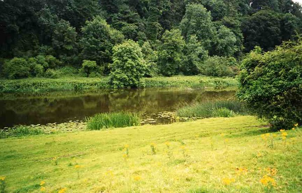
A typical wide and shallow Irish floodplain
Ahilan has a civil engineering background and was awarded his primary degree from the University of Moratuwa, Sri Lanka, in 2004. In 2008, he completed an M.Appl.Sc. Degree (Engineering Hydrology) from the National University of Ireland, Galway, through an international scholarship. He was awarded a Ph.D. in floodplain hydrology from University College Dublin, Ireland, in 2011. He has always had a strong interest in mathematical application in water engineering and throughout his third level education has specialised in areas relating to river hydraulics and stochastic hydrology. This culminated in an assessment of the ‘peaks over threshold’ approach to flood frequency analysis in Irish and UK catchments that formed the basis of his Master’s Degree project. Ahilan’s Ph.D. research is part of the Irish National Flood Studies Update Programme. This research focused on hydraulic, hydrologic, hydrogeological and climatic influences on river flow and flood frequency analysis in Irish river catchments. You can find more about his doctoral research in Ahilan et al., 2012.
Ahilan is currently involved in WP2a of the Blue-Green Cities project. The main objective of WP2a is to develop an integrated flood inundation and sediment transport hydrodynamic model to represent key SuDS (sustainable urban drainage system) features such as green roofs, permeable pavements and surfaces, green spaces and novel Blue-Green flood pathways to allow for application in an innovative, Blue-Green city environment for the UK.
Prior to this assignment Ahilan worked as a postdoctoral research assistant on European Union Water Framework Directive and Bathing Water Directive research projects in the Dooge Centre for Water Resources Research, University College Dublin. His work on these projects mostly involved field instrumentation, sampling and water quality analysis and required extensive travelling through rough mountain forest and floodplains. This task required detailed organisation of field trips, sample collection from different project sites and associated water quality analysis of collected samples. In addition to his time spent in University environments, he was also employed as a research engineer at the Lanka Hydraulic Institute, Sri Lanka, for a year in 2004/05. During this period, he worked as a team member on the Colombo Port Efficiency and Expansion Project. He undertook hydrodynamic and sediment transport modelling (using Mike 21) of the Port of Colombo.
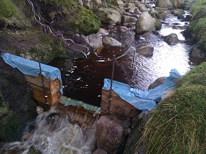
Water quality sampling in an Irish forest catchment
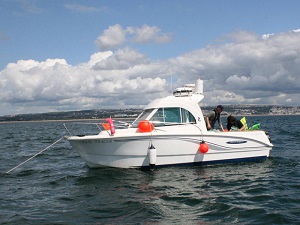
Bathing water sampling in the Irish Sea
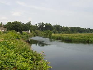
Ahilan is currently working on flood inundation modelling of the Wortley Beck catchment, Leeds, UK. Lower Wortley has experienced regular flooding over the last few years from a range of sources, including Wortley Beck River, surface and ground water. The recent flood incidents substantially affected properties both upstream and downstream of Farnley Lake as well as the important transport link, Wortley Ring Road. This has had very serious implications for Leeds society, environment and economic activities. The aim of this modelling exercise is to explore potential integrated sustainable urban flood resilience measures to minimise the flood risk in the Wortley Beck catchment. The initial stage of the study involves the systematic incorporation of Wortley Beck catchment landscape features into an Arc-GIS platform to identify the river networks, floodplains, the extent of urban, forest and farmland areas, geology, etc., in the study region. This process also enables the exploration of potential sustainable flood resilience measures, e.g. green spaces, green roofs, water retention ponds and swales, at appropriate locations and as part of a connected green corridor to maximise the benefits of these assets. The next stage involves developing a detailed 2D urban flood inundation model for the Wortley Beck catchment using TUFLOW and CityCAT hydrodynamic models that are capable of modelling the effects of permeable/impermeable ground surfaces and landscape features. This integrated modelling study will enable the systematic exploration of a range of sustainable flood resilient strategies for the Wortley Beck catchment.
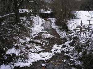
Wortley Beck
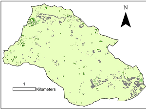
The Wortley Beck catchment and identified potential areas for the SUDS
Interested in WP2a research? Check out the Blue-Green Cities website and WP2a.
No comments yet, fill out a comment to be the first
Leave a Reply