« return to post

MS 416-10 crop

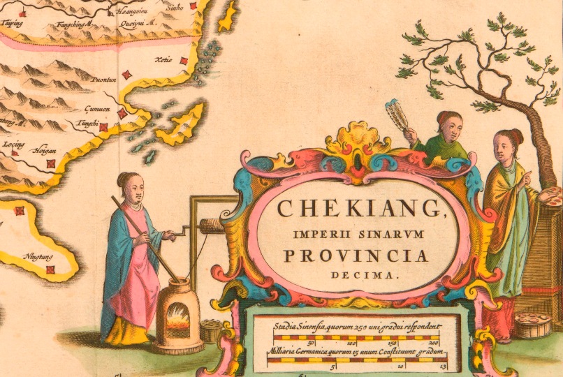
Detail from a map of Zhejiang province, China, formerly known as Chekiang province, dated 1655, showing what is possibly the first European illustration of silk or cotton making in China. (Ref MS416/10)

[J. Blaeu], “CHEKIANG. Imperii Sinarum Provincia Decima” from Novus Atlas Sinensis a Martino Martinio Soc. Iesu descriptus [Amsterdam, 1655]

Map of Hebei province, China formerly known as Pecheli province. The title of the map translates as Pecheli, including Peking, First Imperial Province of China.The map is coloured and shows the mountains, rivers, mines and major cities and towns of the province. The cities and towns are named. The Great Wall of China is also shown. There is a cartouche at the bottom of the map with an illustration of two seated Chinese figures, with people standing behind them shading them with parasols. The key and title of the map are written in Latin. The scale is shown. Dated 1655. (Ref MS 416/1)Map of Nanjing province including Kiangnan, China, formerly known as Nanking province. The title of the map translates as Nanking including Kiangnan, Ninth Imperial Province of China.The map is coloured and shows the mountains, rivers, mines and major cities and towns of the province. The cities and towns are named. There is a cartouche showing two figures-a scribe and a man holding a book. The key and title of the map are written in Latin. The scale is shown.