November 15, 2012, by Lucy
The Helm Wind of Crossfell – part 2
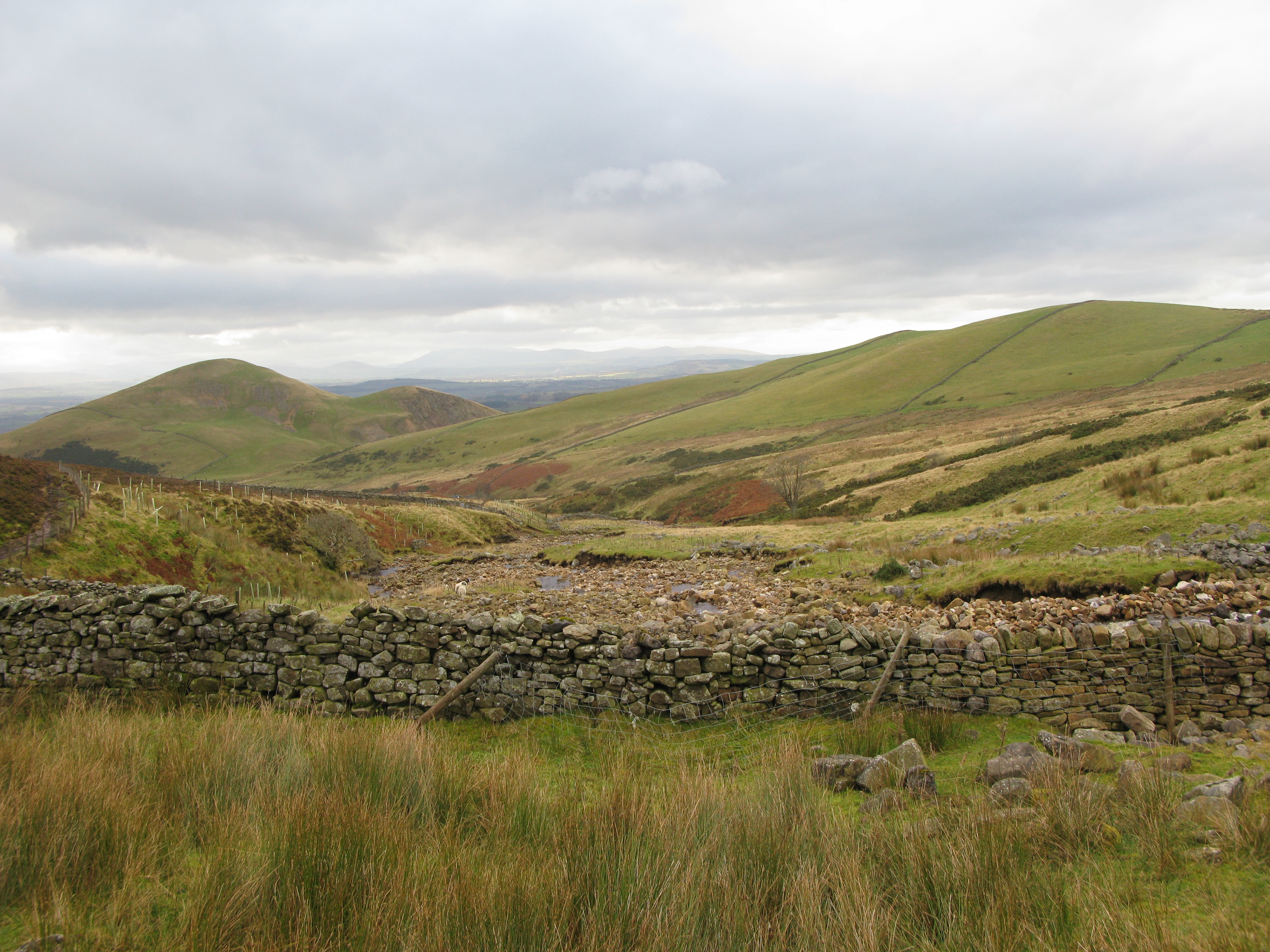
Yesterday I set off for Great Dun Fell with Georgina, Gary and Sam, in search of the Helm Wind I wrote about in last week’s blog… and to test out both the route and technology for the narrated walk we’ve been working on.
Rolling cloud was observed above the hills on our approach but, probably for the best, the Helm Wind failed to make an appearance for us and the sheep we passed remained calm. Our walk began (with a fair amount of mud) following the Pennine Way up to the summit of Great Dun Fell. The mobile app started working well, with a variety of media popping up as we passed through the trigger zones. As we progressed the media jumbled themselves up, and Gary’s voice kept playing from our pockets, but Sam and Gary are confident that glitches will be resolved back in the office next week!
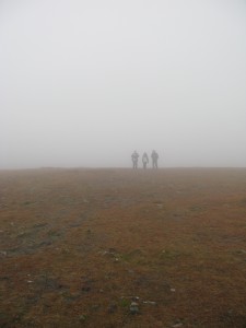
The mist descended as we neared the top (see photos!), and, as time moved on, we began to think we had been rather ambitious with the length of walk given the hours of daylight! Very pleased to reach the road that goes to the radar station (not visible in the fog), we rapidly increased the pace on the descent, but it was still completely dark by the time we reached the hire car, 11 miles covered. We will be returning, and one of the goals will be to find the site of Manley’s hut…
Thanks to Jenny Lunn from RGS and her Dad for coming along on the trip, and for giving us comments to improve the route, narrative and technology!


Very atmospheric ! Personally I look forward to the shorter route. The site of Manleys Hut deserves
a commemorative cairn, but are there any rocks ? Maybe a turf mound.
Manley’s hut site is probably under the radar station! The whole site was rebuilt after the war in 1946-7 and a civil aeronautical radio station established there. To keep the roofs on the buildings they were anchored by wire cables to the ground! The site was redeveloped to include the radar station in about 1990.
If you can make contact with the staff of the station there are probably some old drawings on file there. Also one of the staff in the 70s-80s was an excellent photographer and has lots of spectacular shots of the summit in winter. he’s probably retired now, but likely to still live locally.
Thank you very much for your comment – we have some descriptive material detailing the location of Manley’s hut and are hoping to use the photographs we have to locate it – should it be a clear day next time we visit! It’s useful to know that said location may now be under the radar station though! We hope to follow this project with one focussed on snow, so will definitely follow up those photographs too. If you have any other thoughts/information please do get in touch (lucy.veale@nottingham.ac.uk)