November 6, 2019, by mgoodchild
Bricks: the building blocks for construction (but also for the Rights Lab’s flagship project: Slavery from Space)
Modern slavery is one of the most pressing human rights issues of our time. As such, target 8.7 of the United Nations Sustainable Development Goals (SDGs) challenges the international community to, by 2030, ‘Take immediate and effective measures to eradicate forced labour, end modern slavery and human trafficking…’. It is therefore vital that today’s anti-slavery movement has access to as many tools as possible to both understand and prevent this crime. We at the Rights Lab have been investigating how the multitude of Earth Observation (EO) remote sensing satellites can add to this toolbox. For more than half a century, satellites have been monitoring the Earth’s surface. The remotely sensed data collected by sensors on these satellites have been used to investigate a myriad of features on the planet, from environmental change to the development of cities and population growth. The a bility to monitor the Earth has developed rapidly in the past 40 years, and this rich history is now frequently applied to work in the field of human rights. In the Rights Lab we have used this as inspiration for our Slavery from Space flagship project.
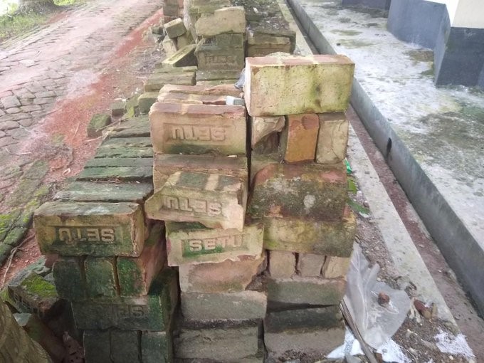
This includes harnessing available satellite technology to investigate industries, countries and regions where modern slavery practices are commonly reported. Remote sensing can provide evidence to support new forms of advocacy, accountability and action in the effort to prevent slavery and support survivors. In fact, remote sensing technologies are already being implemented to support anti-slavery action. Our work on the brick industry across the so-called “Brick Belt” of south Asia (Pakistan, India, Bangladesh and Nepal) has used machine learning and citizen science to map and age every brick kiln across this 1.5ma km2 region. We have done so as this industry in this region is known for widespread and ongoing exploitation and abuse of workers, as well as situations of forced labour via debt bondage following trafficking. The latter has been estimated to affect up to 70% of the workforce, including children. With this mapping of around 66, 000 brick kilns we can start to understand the driving forces for slavery in this region better; other forms of satellite data have afforded an insight into supply chains. This sort of insight can be extended beyond bricks to any material that is extracted from the ground thus leaving some sort of impression – both above and below ground. We are keen to tie this to a new ground breaking initiative that some of my colleagues and I have been involved with on Essential Geodiversity Variables.
The ability to monitor the surface of the Earth and link any change to modern slavery practices will only improve due to the technological innovations taking place on satellite platforms, including improvements to the spatial, spectral and temporal resolutions. Just this week Planet Labs, the innovative satellite company, announced its superdoves constellation taking global daily multispectral imaging of the whole Earth from 4 to 8 bands. Airbus, one of our partners, are constantly innovating. Of course the use of satellite data will not be applicable for the measurement of all forms of modern slavery and indeed “sky-high solutions, even smart ones, aren’t a cure all”. As such we are advocating that an Anti-Slavery Digital Observatory be established – a digital platform that will combine novel, non-traditional data streams to allow for increasingly-sophisticated analyses of modern slavery. This we hope will enable better decision making with respect to the sourcing of any material and goods.
Professor Doreen Boyd will be discussing this project as part of the “Data and Research Panel” at the Responsible & Ethical Leadership in Global Supply Chains Conference on 6 November in central London. For further information and to register, visit ow.ly/f4Af30owEwt
No comments yet, fill out a comment to be the first


Leave a Reply