« return to post


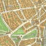


1:10 560 Ordnance Survey map of London (1947-56)
1:10 560 Ordnance Survey map of London (1947-56), sheets TQ27-28, TQ37-38, NW-SE. University of Nottingham School of Geography Map Collection
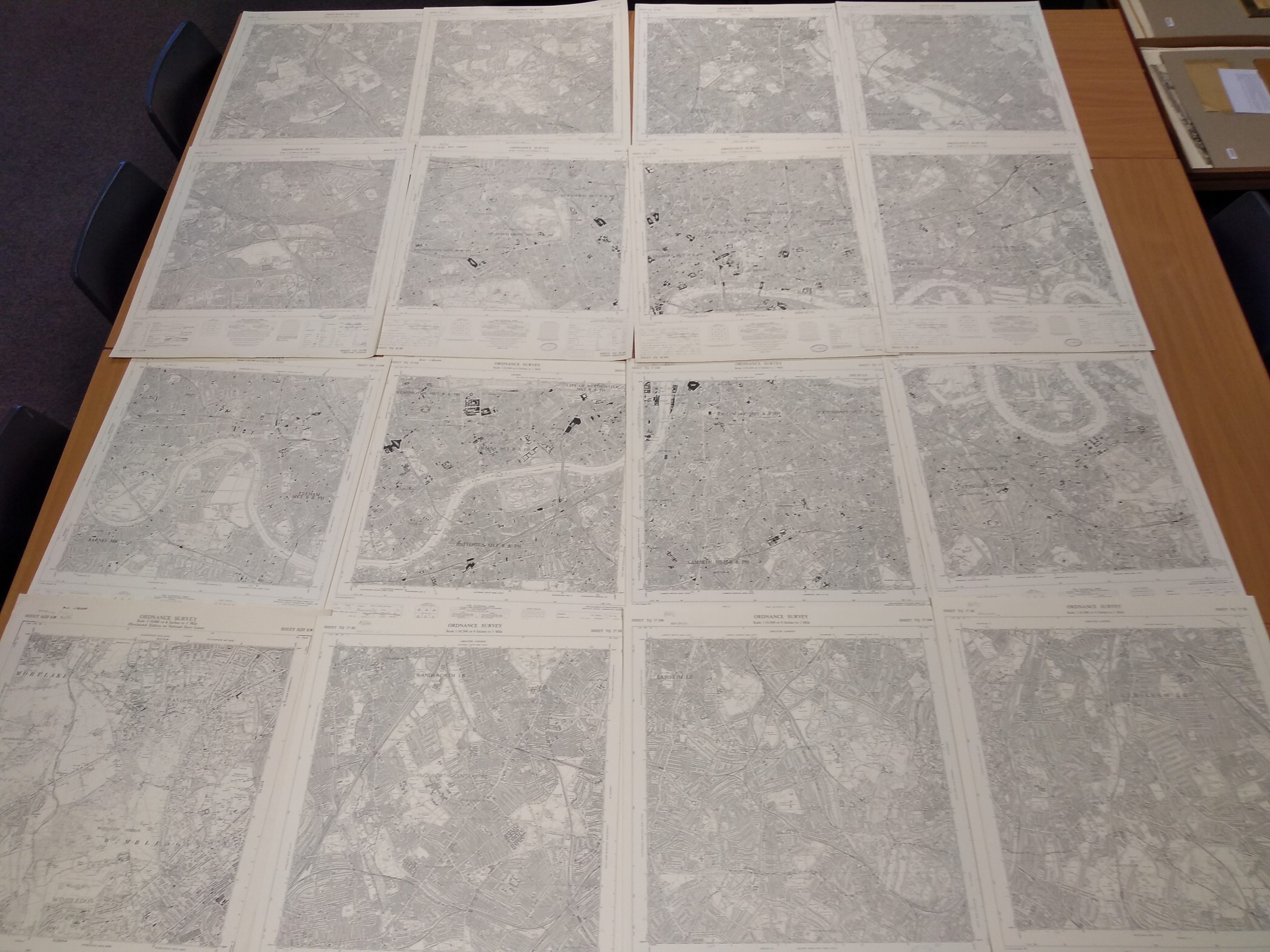
overhead photograph of the 16 sheets of the 1:10 560 Ordnance Survey map covering London (dating from between 1947 and 1956)
