Coal, cotton and the value of local fieldwork
September 4, 2019
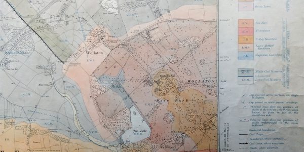
In this blog David Beckingham discusses the tradition of local research and fieldwork in the School of Geography, using as his examples sites from day one of the walk from Nottingham to Malham. Fieldwork is an essential part of any geography degree, often valued because it helps us see the world we want to understand …
Island Biology 2019
September 3, 2019
A blog by Michela Mariani and Richard Field Only few months after moving to Nottingham from Australia, Michela was heading back to the Southern Hemisphere on a memorable conference trip. For Richard, who long ago lived on the equator, it has been much longer since he last crossed that important geographic line. We both attended …
Economic Geography in the Field
Field study has long been a vital component of geography as a discipline and plays a central role in geographical education and research throughout secondary schools and universities. Indeed, fieldwork has been viewed as an ‘initiation ritual of the discipline’ [1] and as a ‘locus of becoming’ [2] – it has come to define the …
Celebrating Fieldwork
September 2, 2019
Field trips are up there with pencil crayons as a stereotype of Geography, for many of us who have made the subject our career it is one of the things (along with the colouring in) that engaged us with the subject in the first place and kept us hooked. This month we’ve dug through …
To achieve ‘safely managed water’ for all by 2030, the Joint Monitoring Programme must monitor seasonality in faecal contamination of drinking water sources
August 28, 2019
A blog by Alfred Dongzagla, Third Year Ph.D. Student Target 6.1 of the Sustainable Development Goal seeks to achieve universal and equitable access to safe and affordable drinking water for all by 20301, with the indicator being access to ‘safely managed water’.2 The WHO/UNICEF Joint Monitoring Programme defines ‘safely managed water’ as a drinking water …
INQUA 2019 conference in Dublin
A blog by Professor Sarah Metcalfe At the end of July, the School was well represented at the INQUA (International Quaternary Association) conference in Dublin. Held once every four years, INQUA is the largest, global gathering of researchers working on all aspects of the Quaternary period – the last 2.8 million years. This year’s meeting …
IGARSS 2019
August 21, 2019
A blog by Professor Giles Foody The International Geoscience and Remote Sensing Symposium (IGARSS) is one of the largest and most prestigious meetings in remote sensing. It is organised annually by the Institute of Electrical and Electronics Engineers Geoscience and Remote Sensing Society (IEEE GRSS). I have been unable to attend recent meetings due to …
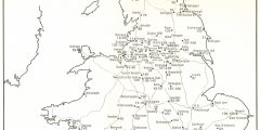
Map of the month. Imagining Invasion: Stadtdurchfahrtpläne England (ohne London) 2. Verbesserte Auflage, 1941
August 6, 2019
A blog by Dr Isla Forsyth The above map is the frontispiece to a booklet produced by the German military in the Second World War, which details the local geography of British city road maps, as well as the distances and directions for and between different cities and nearby towns. These military maps were produced …
Medical Geography in a Magical Place
July 25, 2019
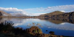
A blog by Dr Stephanie Coen Queenstown, Aotearoa New Zealand is hands-down the most magical place in which I have ever attended an academic conference. The scenery is otherworldly, with ruggedly steep snow-capped mountains dropping straight into the brilliant blue Lake Wakatipu. The photo below of my daily walk from my accommodation to the conference …
Lung health and cookstoves in Nepal
July 3, 2019
A blog by Sarah Jewitt During the past semester, I spent time investigating connections between the use of cookstoves fuelled with biomass (wood, charcoal, agricultural residue, dung etc.) and lung health in Nepal. This work was funded by an Institutional GCRF grant entitled Improving Respiratory Health in Nepal led by Ian Hall and Charlotte Bolton …

