« return to post
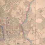
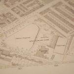

Figure 3
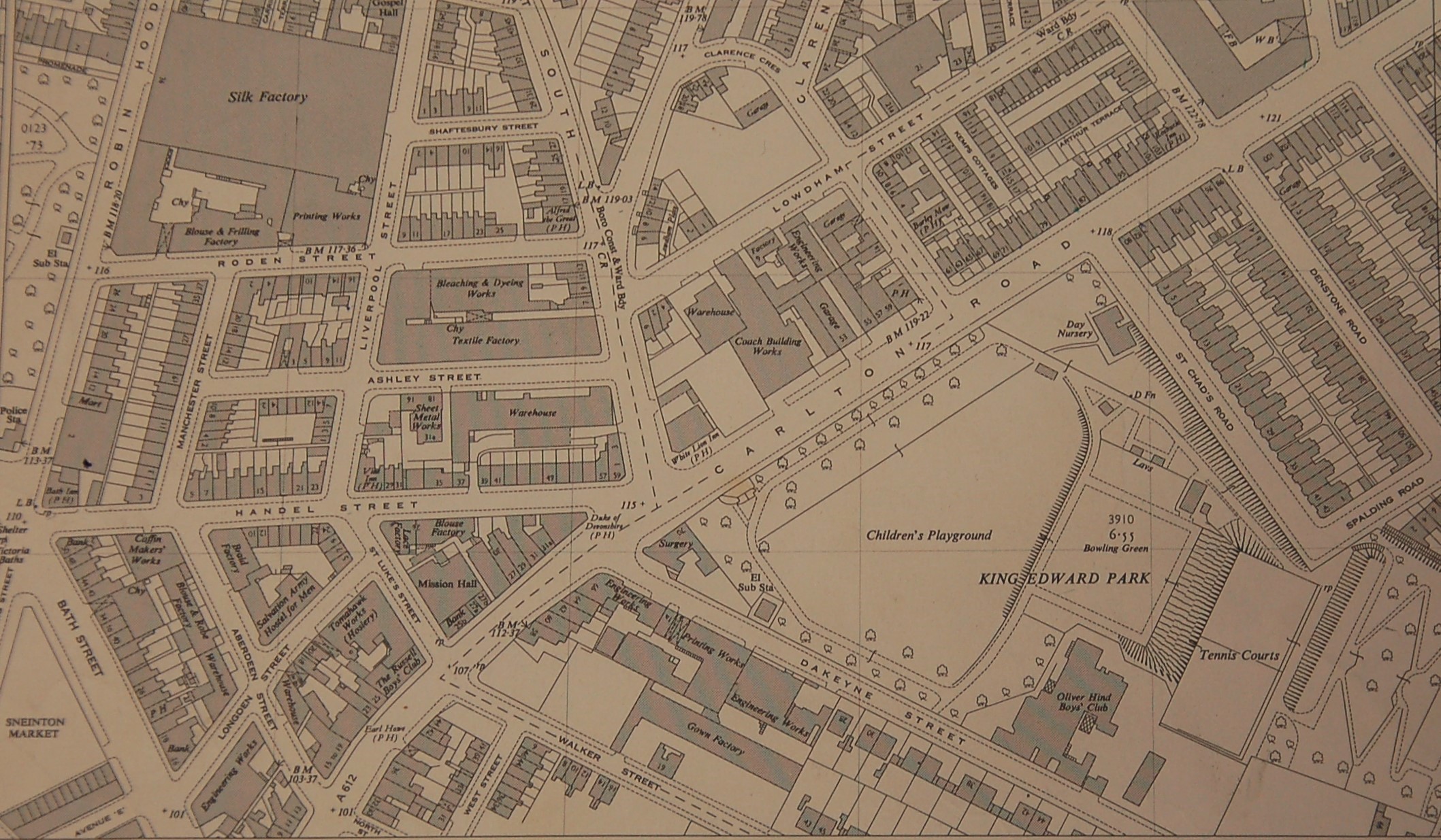
Figure 3 (and title image): Detail of King Edward Park, Ordnance Survey Plan SK 5840, 1955, 1:1,250
University of Nottingham, School of Geography Map Collection


