« return to post
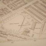

Extract from Salmon’s map of Nottingham, c.1861; East
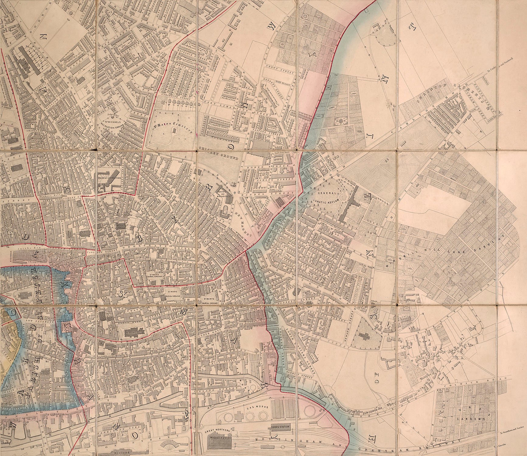
Extract from Salmon’s printed map of Nottingham c.1861. This section shows the eastern side of the town, from St Peter’s parish to Sneinton, and from the canal in the south to Alfred Street in the north.
From, Salmon, Edward W. Plan of the town of Nottingham and its environs. London : Wyld, [186-?%5d.
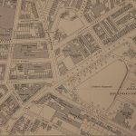
West Central section.


