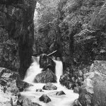
Map collection Dugdale Pic 2
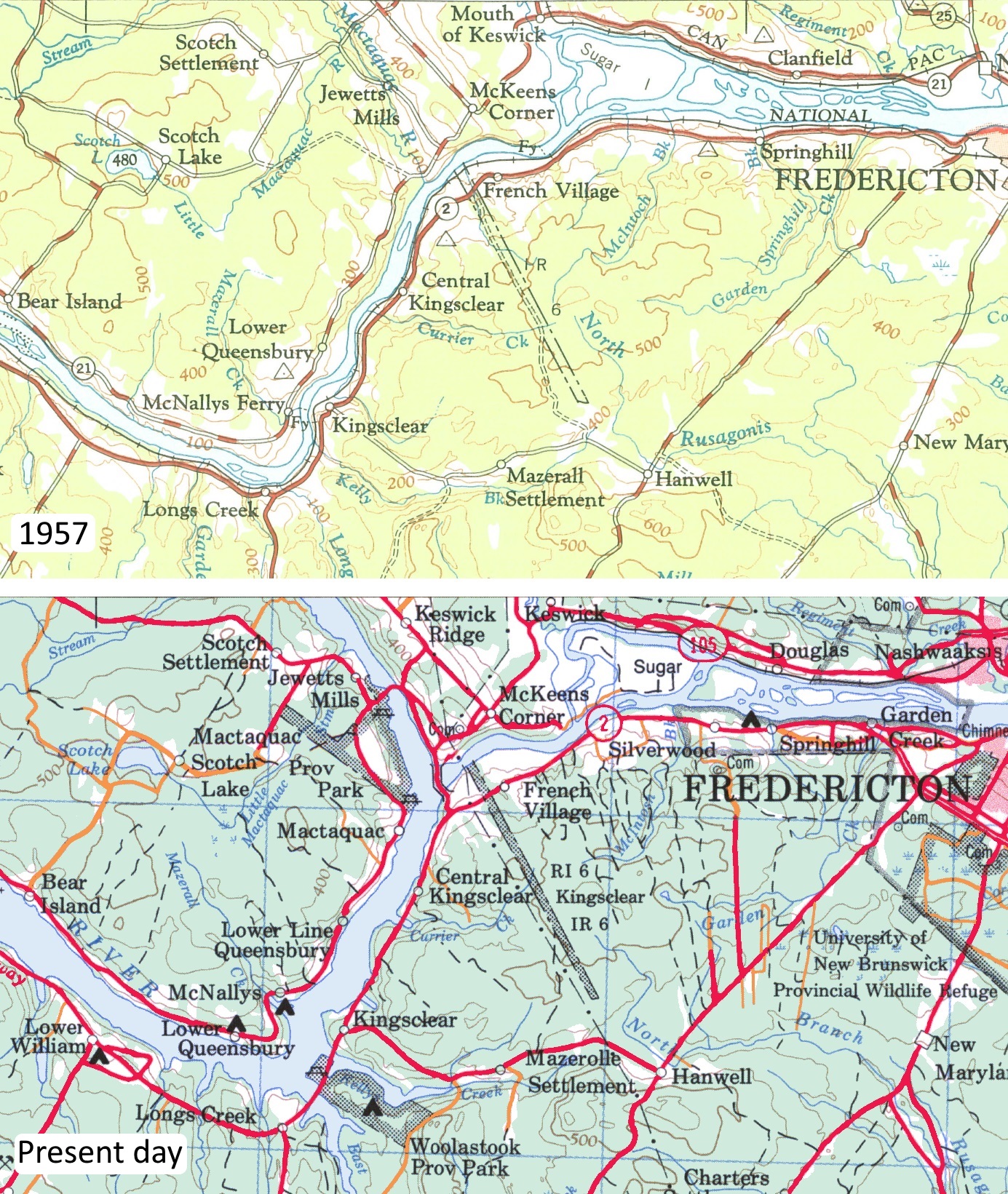
Detail of map sheet 21G from 1957 (top) alongside present day 1:250,000 map of the area (bottom). Note the presence of the Mactaquac Arm (present day) in the location of the former Mactaquac River (pre-dam, 1957), near Jewetts Mills. Also visible are several large embayments/coves located over the former confluences of minor streams/creeks (eg. Longs Creek, located towards the south of the image). Please click to enlarge image.
Detail of map sheet 21G from 1957 (top) alongside present day 1:250,000 map of the area (bottom). Note the presence of the Mactaquac Arm (present day) in the location of the former Mactaquac River (pre-dam, 1957), near Jewetts Mills. Also visible are several large embayments/coves located over the former confluences of minor streams/creeks (eg. Longs Creek, located towards the south of the image).