« return to post
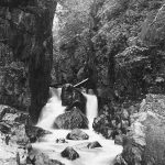

Map collection Dugdale Pic 1
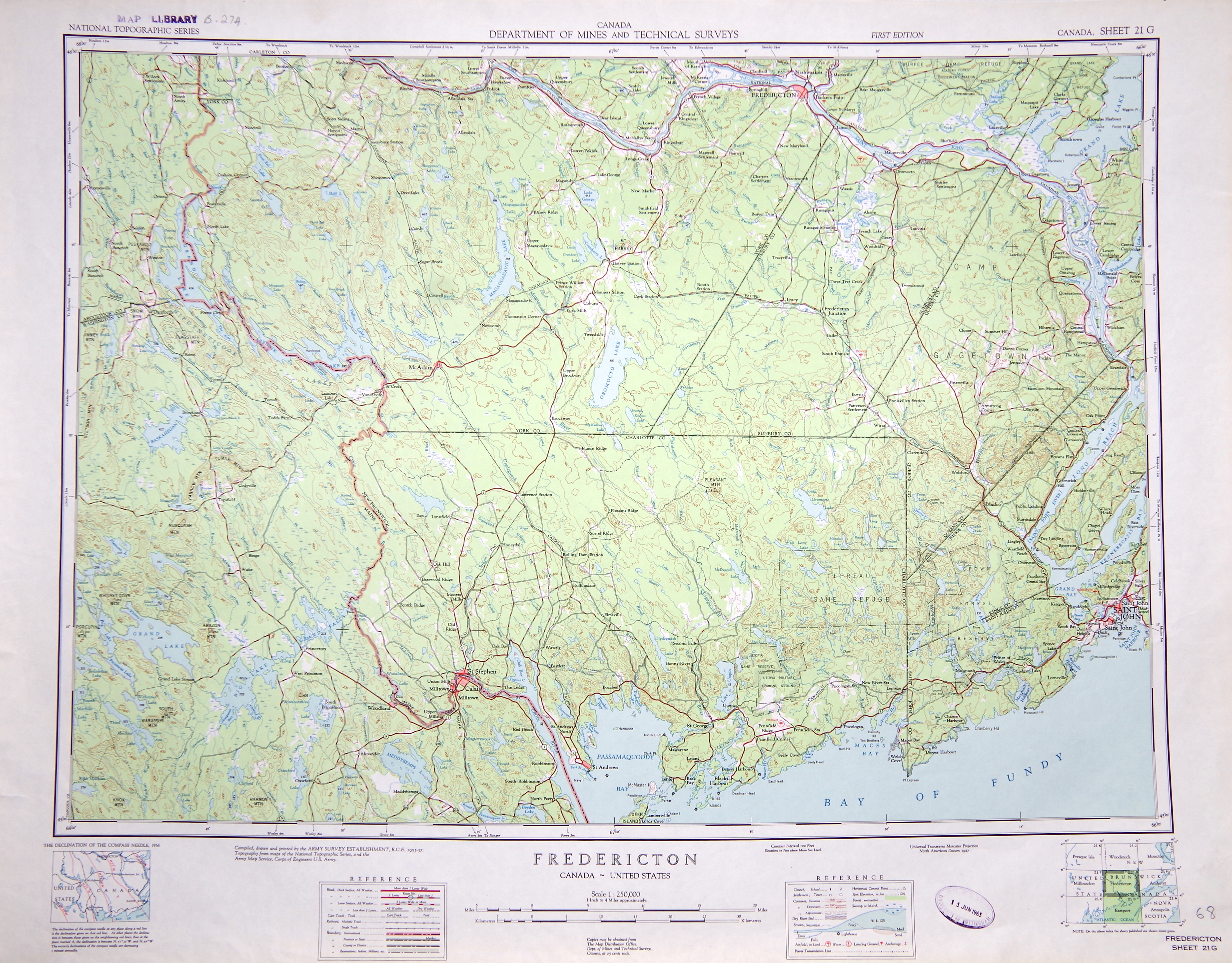
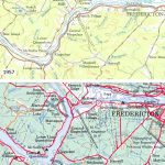
National Topographic Series 1:250,000 map sheet 21G (1957) showing Fredericton (New Brunswick, Canada) and environs. The pre-dam Saint John River is visible along the northern edge of the map sheet. Click to enlarge image.
National Topographic Series 1:250,000 map sheet 21G (1957) showing Fredericton (New Brunswick, Canada) and environs. The pre-dam Saint John River is visible along the northern edge of the map sheet.


