March 28, 2019, by lzzeb
Steps in a region that survived a climate change
A blog by PhD student Haydar Martinez Izquierdo Dyrzo
The ancient Maya and the modern Maya that live today are strangers for me. Their habits, values, beliefs, identity, and life’s purpose has been always different from those of the people in other regions of Mexico. As a Mexican, I can understand some of their culture, the part which was similar in Mesoamerica, the part which came from the centre of Mexico due to migration in the last 1000 years. I was in the Puuc Region of the Yucatan in 2018, after being part of the group of the course Quaternary Environments of the UoN, which is taught in the region of the ring of Cenotes (Sinkholes), the city of Coba, Lake Chichancanab and the west and east coast of the Mayab. The Mayab is the original name of what we call the Yucatan Peninsula. Many researchers in Palaeoclimatology have focused in the Mayab because they have found signals of a series of strong droughts at the time of the Maya Classic Collapse, a period when most of the Maya settlements were abandoned after a glorious development for six centuries. The group were in those places because water bodies can be found in these areas, which are important to understand changes in the environment.
The lack of access to the water during the drought would have driven the abandonment of the major cities and many of the settlements. Just those with some access to water would have prevailed, like Chichen Itza or Coba. But the settlements in the Puuc region, they not only prevailed after the collapse, but they thrived. So, I wanted to see with my own eyes, what was special about this region.
In such exploration of the Mayab, a person must never go alone. Alexander van Humboldt had Aime Bonpland, a botanist, and John Stevens had Frederick Catherwood, an artist, so I had Alexei Genova, an astrobiologist
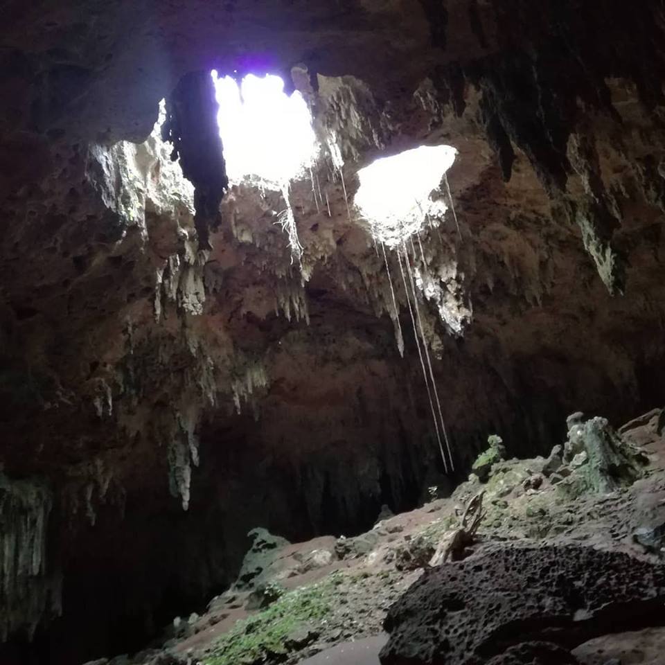
The entrance at the Loltun cave
We slept in the village of Oxkutzcab, in the southwest part of the Yucatan State. From there we visited first the Cave of Loltun. Alexei has never visited the Mayab before. We had been in Progreso harbour on the north coast some days before. As a biologist, it was interesting for him, that the trees were not so tall considering the climate and the latitude. Such an interesting fact can be explained by the soil of Yucatan, which is thin, dry and poor in nutrients, resting on limestone bedrock. Five centuries ago the bishop Diego de Landa said about it, “it is earth with less earth [soil] than I have found, it is just flagstone” But the vegetation it was a little different in the Puuc region, I realised that when I was walking into the cave. For Alexei it was also his first cave. I had experience with caves, but Loltun is impressive. Some days before I have visited the caves of Tzucacab, near Hobonil, a field -school of the University of Yucatan where the group slept for some days. They are at the same latitude as Loltun, but in those caves, I found water dripping. That was not the case in Loltun. Perhaps in another season, the water goes inside the cave. The cave has remains of human activity, including pictures on the walls. It was used by an ethnic group previous to the Maya, the Olmecs. The guide tried to explain the relevance and history of the cave. Most of what he said was a badly told fairy-tale.

The deepest part of the Loltun cave
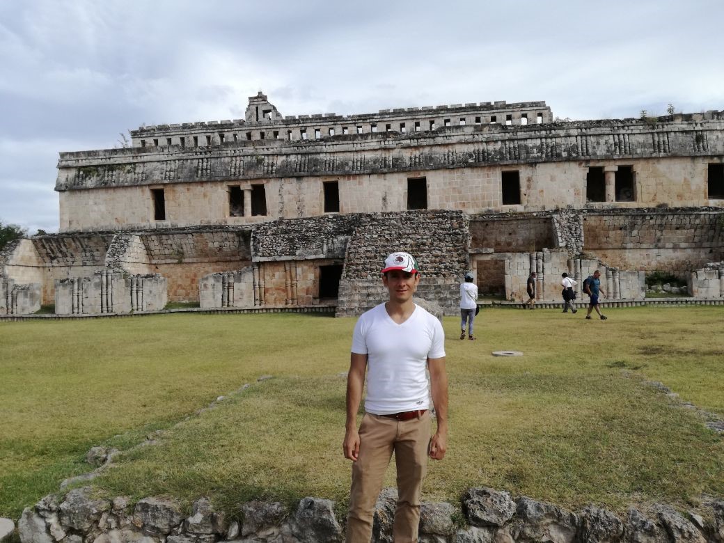
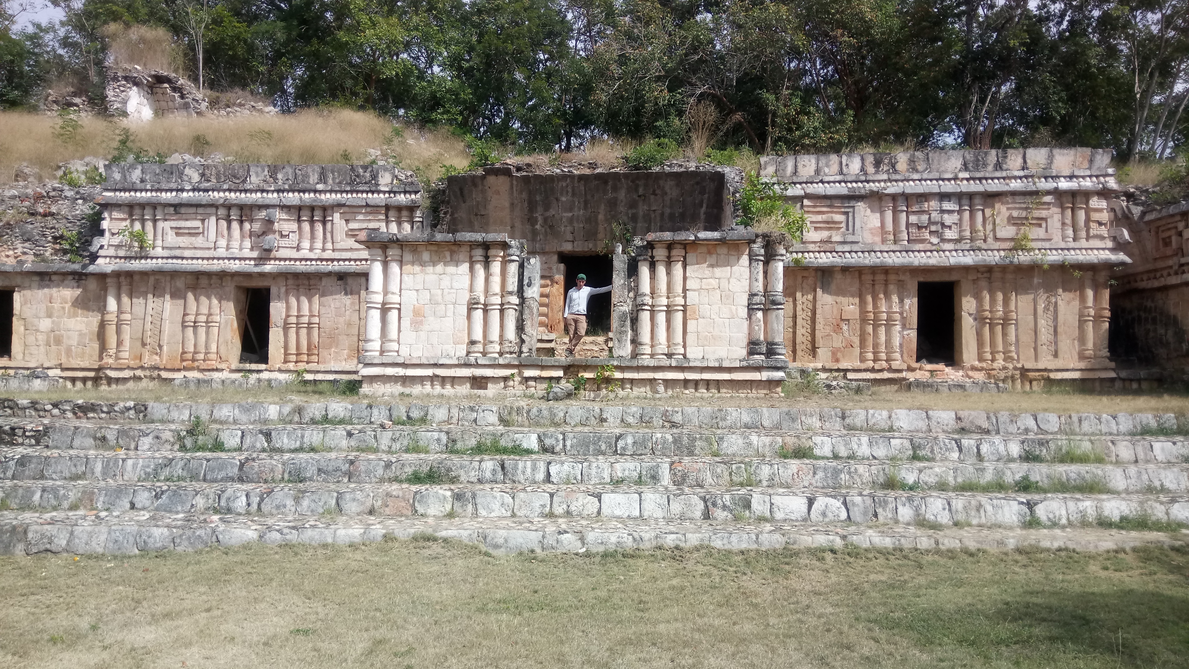
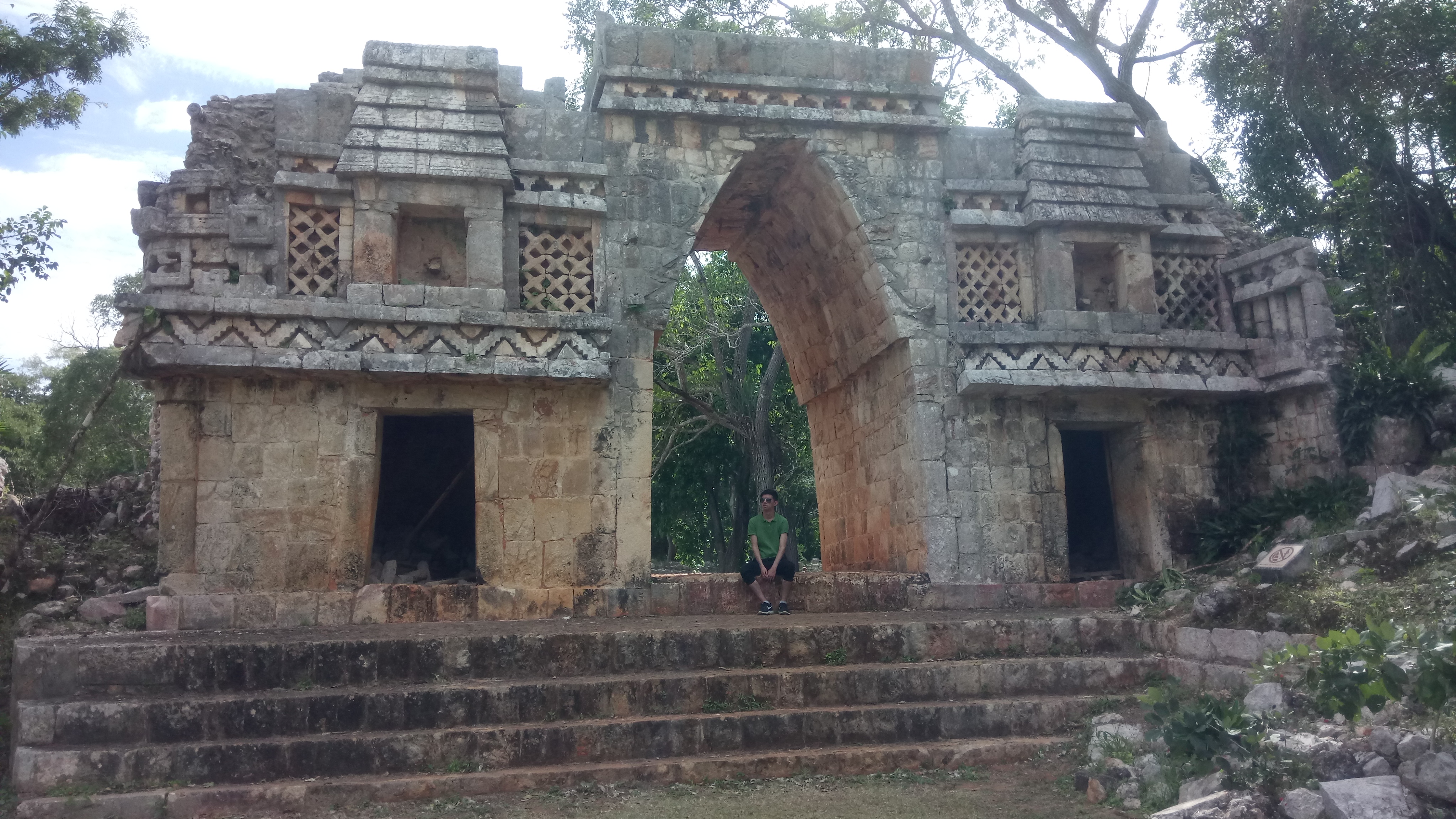
We visited Mayan cities of Labna, Sacbe and then Sayil. The landscape did not look flat as in the north part of the Mayab. Small hills and valleys were visible, but there were no rivers or vestiges of old rivers. From Labna and Sayil just some remains still exist. The architecture confirmed influences from the centre of Mexico.
The third city that we visited was Kabah, but just a small part of it can be visited by tourists. Maya paintings from before the collapse present human figures in side face position, but here in Kaba, figures were front on. The cultural change was evident.
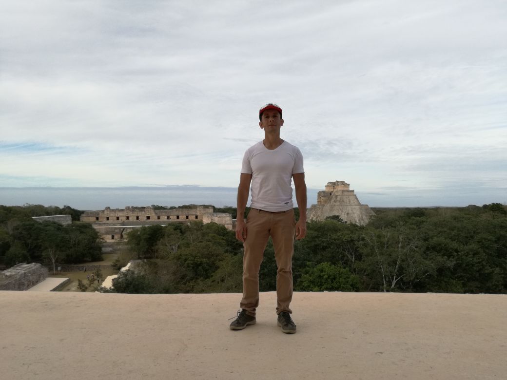
Finally, we went to Uxmal. We had been across the Puuc region, and it was clear that the zone was drier that the regions occupied before the collapse. If the region flourished after the collapse, it is possible that it received the migrants from other areas that were abandoned. But if it was so, why did those people choose the Puuc region and not the surroundings of Lake Chichancanab, a place barely populated and with more water? I finished with more questions.
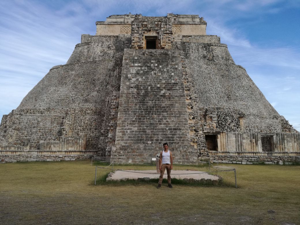
The pyramid of the magician at Uxmal
Andre Segura a French archaeologist wrote that the Puuc region was colonized after the collapse of Teotihuacan, the most important city in the Americas (and the most populated) in the centre of Mexico. According to his book “Les Mayas des temps anciens”, the Puuc region was populated by emigrants from Teotihuacan.
If that is true, the ancestors of the inhabitants of the Puuc region had already survived a collapse (in Teotihuacan), which was also driven by climatic conditions. Maybe the inhabitants integrated that experience into their collective memory, they learnt from their mistakes, so their descendants were better prepared for the drought that happened at the Maya collapse. The mystery is, which strategies they used to adopt to climate change.
The ruins at Labna
The ruins at Sayil
The city of Uxmal
No comments yet, fill out a comment to be the first


Leave a Reply