October 25, 2013, by Matt
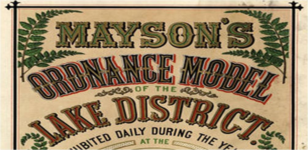
Summer Geoging… Reviving Mayson’s Ordnance Model of 1875.
Gary Priestnall writes about digitally reconstructing a Victorian Landscape Model…
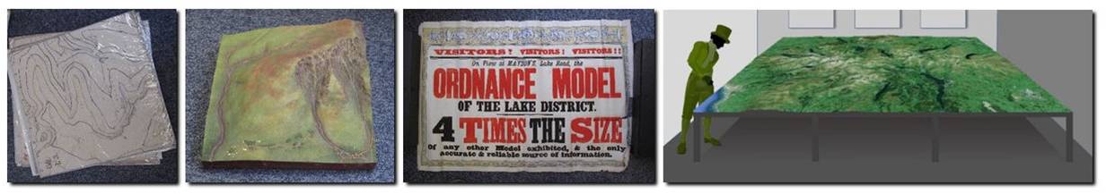
This project aims to use a range of digital technologies to explore a physical model of the Lake District created by Thomas and Henry Mayson in 1875 which gave tourists to Keswick an unprecedented view of the landscape they were about to explore. Huge efforts went into creating this model which faithfully represented the contours and other details of the Ordnance Survey mapping which had recently been surveyed but which were not at that time available to the public in any form. The model is believed to have been displayed in Mayson’s shop on Lake Road until the 1960s but all that now remains are some mouldings created ‘for future use’, found in storage in 2012. These moulds are being captured using laser-scanning technology in order to digitally reconstruct the scale and detail of the original model and create an exhibit for Keswick Museum which aims to explore and celebrate the original Victorian visitor experience whilst utilising modern digital display technologies.
Physical landscape models are often used in public settings to help give visitors a sense of spatial context, using geographical features such as mountains, lakes, buildings and roads to provide a frame of reference. Before computer-based maps or even paper-based maps were available to tourists visiting an area these models provided unique and privileged views, and were displayed in prominent locations.
We aim to discover more detail about the processes used by the Maysons and sculptor Raffaelle Monti to create the model and the moulds, and about the way it was displayed to the public. The moulds themselves are bulky and difficult to interpret so a major aim of the project is to re-present this archive in the form of a public exhibit to illustrate all aspects of the model’s creation and public display, along with examples of present day mapping and model production supported by the Ordnance Survey. In addition to designing a display which can convey the scale of the original model we will digitally reconstruct parts of the model and through vertical projection show how they correspond to the original Ordnance Survey mapping and to modern geographic representations.

For more information contact gary.priestnall@nottingham.ac.uk
No comments yet, fill out a comment to be the first


Leave a Reply