« return to post
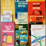
Figure 1
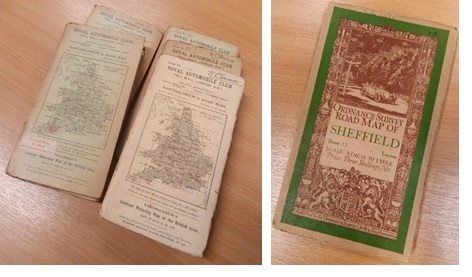
Figure 1, Left, selection of K.C. Edwards’s Royal Automobile Club Bartholomew’s Road Maps, c. 1920s (cupboard 10b); right, Ordnance Survey Road Map of Sheffield, c. 1924 (cupboard 11b)
Figure 1, Left, selection of K.C. Edwards’s Royal Automobile Club Bartholomew’s Road Maps, c. 1920s (cupboard 10b); right, Ordnance Survey Road Map of Sheffield, c. 1924 (cupboard 11b)


