November 7, 2014, by Lindsay Brooke
Secrets of Stonehenge revealed through digital mapping
The secrets of a prehistoric monument are being revealed in an unprecedented digital mapping project involving Dr Eugene Ch’ng, from the School of Computer Science, The University of Nottingham Ningbo China (UNNC). He is part of a team working on the Stonehenge Hidden Landscapes Project that is transforming knowledge of the iconic stone monument in England.
Using remote sensing techniques and geophysical surveys the team has already discovered hundreds of new features that now form part of the most detailed archaeological digital map of the Stonehenge landscape ever produced. The startling results of the surveys include 17 previously unknown ritual monuments dating to the period when Stonehenge achieved its iconic shape.
Stonehenge was constructed on England’s Salisbury Plain from as early as 3,000 BC. While its exact purpose remains a mystery, archaeological evidence indicates that it could have been a burial ground with huge religious importance to the communities who built it.
The Stonehenge Hidden Landscapes Project has brought together experts in non-invasive geophysical prospection and remote sensing, and specialists in British prehistory and landscape archaeology in order to address gaps in our knowledge and understanding of the Stonehenge landscape.
Dr Ch’ng is an expert in the use of computational technologies for digital heritage. Using agent-based modelling, he is working with archaeologists to understand how the development and alignment of monuments might have guided collective human movement in the use of the landscape.
He said: “The Stonehenge Hidden Landscapes Project is at the leading edge of archaeological research and is providing a new digital space within which computer scientists can experiment and explore the past.
“Using the new landscape data provided by the project we are investigating how digital autonomous agents can be used to mimic the movement of people and analyse how they react to the clusters of monuments which guided the ritualistic use of the landscape.”
The Stonehenge Hidden Landscapes Project is the largest of its kind and is led by the University of Birmingham, in conjunction with the Ludwig Boltzmann Institute for Archaeological Prospection and Virtual Archaeology.
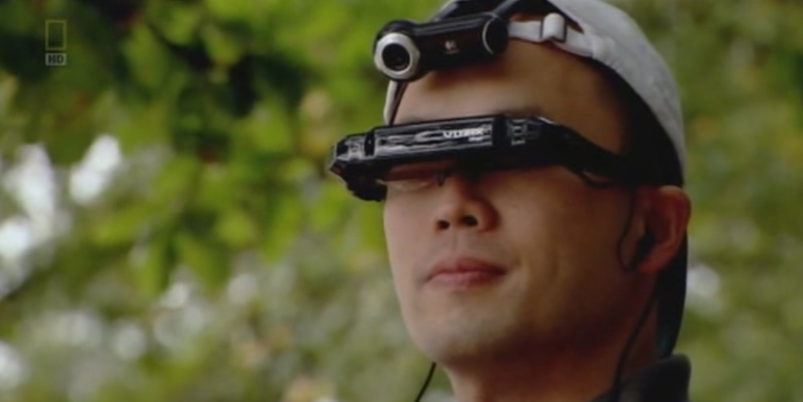
Dr Ch’ng’s work has been featured widely in the media.
He appeared in National Geographic’s ‘Stone Age Atlantis‘ – (at just after 11.58).
He was an invited guest editor for the MIT Press special issue ‘Living Virtual Heritage‘.
He book ‘Visual Heritage in a Digital Age’ was published by Springer
His academic publications include research into the world’s oldest calender.
His work on ‘drowned landscapes‘ featured in the Royal Society Summer Science Exhibition in 2012.
And he has presented his work at the Orkney Science Festival.
-
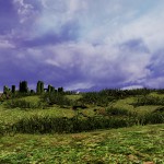
- Dr Ch’ng’s past work on visualising a segment of the reconstruction of the Doggerland
-
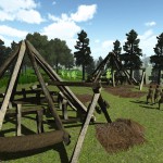
- A real-time visualisation of Stonehenge.
-
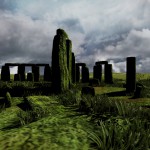
- A real-time visualisation of Stonehenge.
-
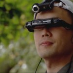
- Dr Eugene Ch’ng
-
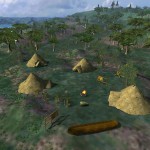
- Simulation showing the reconstruction of Mesolithic houses
-
- A reconstruction of Flag Fen Iron Age site in Peterborough.
Dr Ch’ng said: “My role in the stone henge collaboration is in the virtual reconstruction of landscapes using real-time visualisation technologies such as Virtual Reality, Augmented Reality, Virtual Environment and a Complex Systems science route to discovering hidden ancient behaviours using agent-based models that were not possible with traditional geo-physical surveys and GIS mapping. Agent-based modelling (ABM) generates much more information than traditional archaeological and palaeoenvironmental modelling approaches, which can be used for hypotheses testing. Unlike statistical modelling, ABM focuses on the modelling of individuals (e.g., individual trees, animals, insects, humans, etc) and their biotic interactions and abiotic interactions which lead to a collective behaviour of the community. The approach has resulted in new insights into the movements of ancient groups, such as in the Stonehenge hidden landscape.
For more information on the project contact Eugene.Ch’ng@nottingham.edu.cn
More press information about UNNC is available from Tess Humphrys, communications and marketing officer, UNNC, on +86 574 8818 0940.
No comments yet, fill out a comment to be the first


Leave a Reply