July 14, 2014, by Katharina Lorenz
Joining the Dots: the DHC during conference season
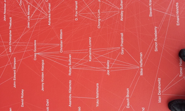
‘Joining the dots’ between events.
The academic conference season is in full bloom and the DHC had its fair share of conference exposure, including our very own Urban Mapping event, followed by presentations at the Mobile Spectator: Viewing on the Move conference and, the grand finale, DH2014. Here are some musings, joining up the dots between these events which, on the surface, might not seem to share much common ground.
Urban Mapping
The DHC hosted the second day of the Urban Culture Network’s urban mapping conference. Whilst the first day already featured many projects concerned with the critical use of digital mapping tools, the second day had a particular focus on cross-domain collaboration in terms of mapping, including tool infrastructure building and the use of open-source platforms such as Open Street Map. We also drilled into the hermeneutical potential in mapping out location-based data, the use of reconstructions for iterative experiments, and finally tools suited to help students and other audiences to explore heritage sites.
Mobile Spectator
Long live the analogous event! Whilst this two-day conference was one of the few I have been to in recent times without live-tweeting, this did not make it any less inspiring – quite the contrary.
The event focussed on dynamic forms of perception and cognition in different art-historical periods, regions, and genres: from Hellenistic sacral architecture to Chinese handscrolls, and from wanderings through 18th and 19th-century Rome to French bande dessinée graphic novels.
This was not an event concerned with the digital, but it included material evidence and research questions which lend themselves to – and challenge and inform! – digital practices and toolboxes.
There were many links here to discussions at the Urban Mapping conference, especially regarding the way in which we use space as a hermeneutical framework, how the presentation of space changes over time, and how we deal with location-based data and its fluidity. These are areas into which the DHC has previously dipped its toes with work on the Roman sanctuary at Nemi (and its presentation in modern artistic practice), and with the reconstruction of Mayson’s landscape model of the Lake District.
DH2014
Mayson’s landscape model was also a key reason for my trip to Lausanne to attend DH2014, a six-day iron-man of a conference: Gary Priestnall and I presented our work in the context of the annual conference of the Digital Humanities community, the Nottingham presence also supported by Erin Snyder, the Arts Faculty’s DH manager.
The event offered plenty of food for thought on things DH – from how to teach digital skills, to infrastructure requirements and how to meet them, right down to an appropriate ontology for the field aimed at aiding better visibility and transparency. An inspiring event – with many new contacts forged with other DH folks across the globe.
Over the next months, we will take out some time to digest these three events and weave what has come out of them into our activities for 2014/15. Watch this space!
No comments yet, fill out a comment to be the first


Leave a Reply